A well-designed project map is a beautiful thing – it can help explain a project and reinforce your brand. When you’re using maps to help communicate your project to the public, you want to make sure they’re uncluttered, clearly branded and clearly labeled. Below are a few examples of maps the Rasor Public Involvement Team has produced for the Clermont County Transportation Improvement District and the Warren County Transportation Improvement District.
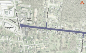
For the Clough Pike Widening Project in Clermont County, the background is faded enough so as to still give context, but it’s not so dark that it distracts from the main road being improved. From the font to the color of the street, every element of this map is in line with the CCTID’s branding standards. This map was used for the CCTID website project page, GoClermont.org, which already had the title at the top of the page. For a standalone piece, maps should always be titled.

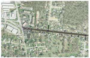
Clough Pike Widening Before

Clough Pike Widening After
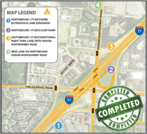
Warren County had a considerable number of projects to show at the Fields-Ertel and Mason-Montgomery intersection at I-71. The map on the right shows the roads being improved highlighted in yellow, and the background is faded to help highlight the main roads even more. The map legend clearly labels the projects with different colors for each phase for a clean, easily readable look.

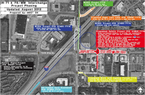
Fields Ertel/Mason Montgomery/I-71 Interchange Map Before

Fields Ertel/Mason Montgomery/I-71 Interchange Map After
